🌧️ FLOODING THREAT (MODERATE RISK – Level 3 of 4):
Much of southeastern Virginia, including Danville, Richmond, and Lynchburg, are under a Moderate Risk for excessive rainfall and have already seen 1–3 inches of rain over the last 3 days.
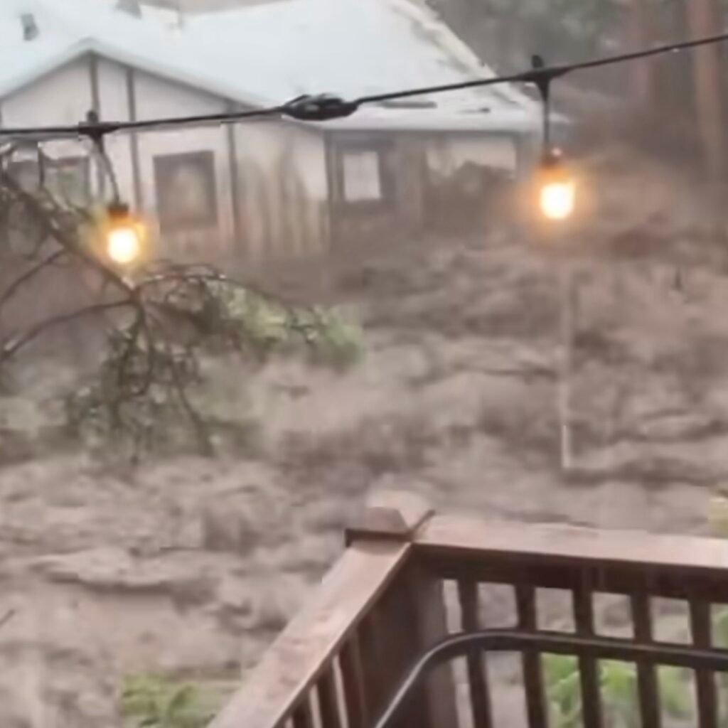
Areas just east of Danville were hit especially hard, receiving 4–7 inches from the remnants of Tropical Storm Chantal.
Today, an additional 2–5 inches of rain is possible in pockets across Virginia, with rain also likely in Maryland, Delaware, New Jersey, and parts of North Carolina.
Baltimore is showing up as a hotspot, and may experience rapid urban flooding.
⚠️ Even areas in the Slight Risk zone (Level 2 of 4) should be alert for flash flooding, especially from the Carolinas north through New Jersey. Street flooding, drainage issues, and road closures are all possible.
⛈️ SEVERE WEATHER THREAT (ISOLATED TO SCATTERED):
Strong storms may develop from the southern Appalachians to the DelMarVa Peninsula.
Hazards include:
🌪️ Isolated hail
💨 Damaging winds
⚠️ Multiple storm clusters that could become locally severe
Instability and moisture will fuel storms throughout the afternoon and evening.
📍 Flash flooding, street closures, and dangerous driving conditions are all possible.
🌍 LOOKING AHEAD:
The flooding threat continues into tomorrow, but the focus is expected to shift westward into the Plains or Upper Midwest.
Source: https://www.facebook.com/share/v/16eoEajk1v/?mibextid=wwXIfr